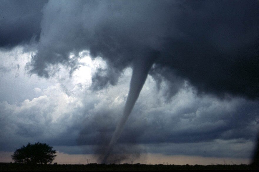
National Weather Service forecasters say thunderstorms this evening and tomorrow morning could bring large hail and heavy winds to parts of Alabama, and may spawn small tornadoes.
The latest forecasts and models from the NWS show that the highest potential for severe weather in the state will be in the northwest corner of Alabama, in and around the Florence area.
Forecasters say these storms hold the potential for what they describe as "brief, spin-up" tornadoes.
The weather service expects a squall line to move across northern Alabama late Thursday night or early Friday morning. Those storms will gradually weaken as they move east of the Interstate 65 corridor.

